

What Is Port Navigation? A Beginner's Guide to Harbor Terms
- lisbonbyboat
- 3 minutes ago
- 7 min read
TL;DR:
Port navigation involves moving vessels safely through harbor zones using fixed nautical terms and advanced technology.
Understanding port and starboard as vessel-fixed points ensures clear communication and collision avoidance.
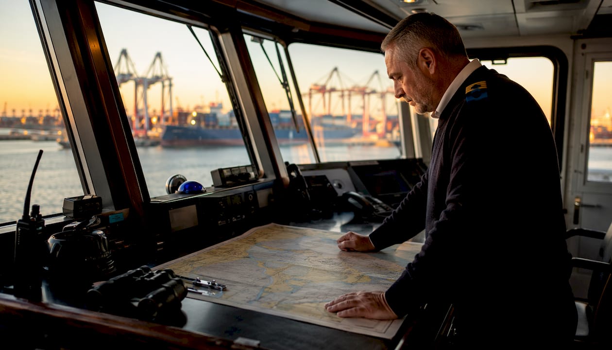
Port navigation is the controlled process of moving a vessel safely through defined harbor waters, from the moment a pilot boards to the final approach at a berth. It covers two distinct but connected ideas: the foundational nautical language every mariner uses, and the systems that make safe harbor transit possible.
The word “port” itself has a specific meaning aboard any vessel. It refers to the left side of a ship when you face forward toward the bow. Its counterpart, starboard, is the right side. These terms are fixed to the vessel, not the observer, which means they stay consistent no matter which direction you’re facing. That consistency is the whole point.
Here’s a quick reference to keep the two straight:
Port = left side of the vessel (facing forward); navigation light is red
Starboard = right side of the vessel (facing forward); navigation light is green
Bow = the front of the vessel
Stern = the rear of the vessel
Bearing = the direction of an object relative to your vessel
The global standardization of port and starboard prevents the kind of directional confusion that causes collisions. “Left” and “right” change depending on which way you’re facing. Port and starboard never do.
Why “port” and “starboard” matter more than you’d think
Port and starboard are fixed orientations tied to the vessel itself, not to any individual standing on deck. A crew member facing aft still calls the left side of the ship “port.” That consistency makes radio communication between vessels, pilots, and harbor control unambiguous, even in low visibility or high-stress situations.
“Ships use ‘port’ and ‘starboard’ instead of ‘left’ and ‘right’ because the terms are unambiguous regardless of which direction a person is facing. This eliminates confusion during critical navigation and communication moments.” — NOAA Ocean Service
The historical roots of these words are worth knowing. “Starboard” comes from the Old English steorbord, meaning the steering side, because early Norse vessels were steered with an oar on the right side. “Port” likely replaced the older term larboard (the loading side) because “larboard” sounded too much like “starboard” when shouted over wind and waves. The change was officially adopted by the British Admiralty in 1844, and the rest of the maritime world followed.
These terms also govern navigation lights, which are a core part of collision avoidance rules. A red light on the port side and a green light on the starboard side let other vessels determine your heading at night. Knowing which light belongs where is one of the first practical skills any boater needs.
How port navigation systems work in modern harbors
A port isn’t just open water with a dock at the end. It’s a structured environment divided into specific zones, each with its own rules and restrictions. According to port navigation standards.pdf), a vessel typically transits through four sections in order of increasing precision:
Fairway — the main navigable channel leading into the harbor
Turning Basin — a wider area where vessels can rotate to align with their berth
Basin — the enclosed harbor water surrounding the berths
Berth Pocket — the specific slip or dock space where the vessel ties up
Each zone carries its own size restrictions, speed limits, and traffic rules. Navigating through them requires more than a good captain. It requires a coordinated set of technologies working together.
The core systems that make it work:
Vessel Traffic Services (VTS): Shore-based control centers that monitor and regulate all vessel movement within a port, similar to air traffic control for ships. VTS authorities hold ultimate oversight, and the NTSB has noted that regulated port activity, not free navigation, is the operating standard.
AIS (Automatic Identification System): Transponders aboard vessels that broadcast name, speed, course, and destination to other ships and to VTS. AIS also supports Virtual Aids to Navigation, which are digital hazard markers that appear on navigation screens without any physical buoy in the water.
Radar: Tracks vessels that aren’t transmitting AIS signals, including small recreational craft, and provides real-time position data in poor visibility.
Portable Pilotage Units (PPUs): Tablet computers carried by harbor pilots that give them independent, high-accuracy positioning data regardless of the ship’s onboard systems.
Pro Tip: If you’re boating in or near a commercial harbor, monitor the local VTS VHF channel. You’ll hear real-time traffic updates and can report your own position, which significantly reduces the risk of a close-quarters situation with a larger vessel.
Together, these tools create what mariners call situational awareness: a complete, real-time picture of what every vessel in the port is doing and where it’s going.
How port navigation works in practice for boaters
Understanding the terminology and the systems is one thing. Knowing how they apply when you’re actually maneuvering a boat in a busy harbor is another.
1. Right-of-way and docking
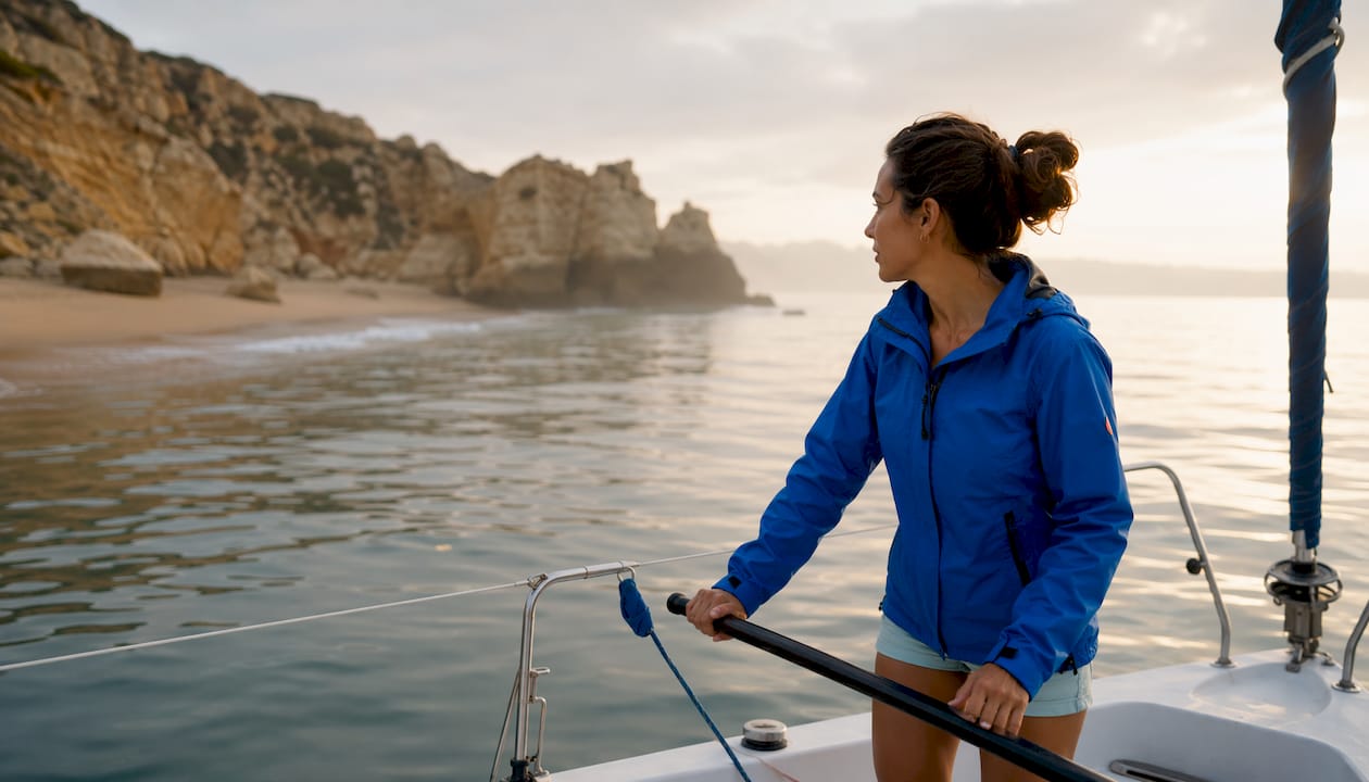
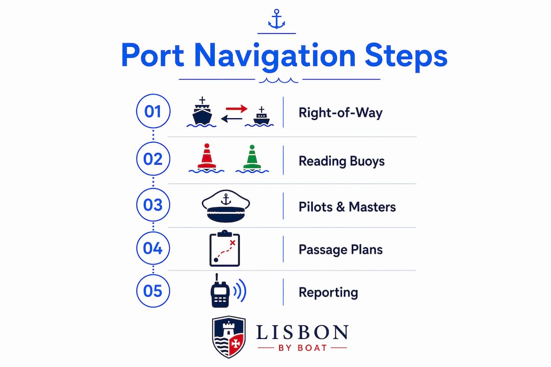
Port and starboard knowledge directly affects who yields to whom. When two vessels approach each other, the one with the other vessel on its starboard side generally gives way. Knowing your port from your starboard isn’t just vocabulary; it’s the basis of collision avoidance rules under the International Regulations for Preventing Collisions at Sea (COLREGs).
2. Reading buoys and markers
The mnemonic “Red, Right, Returning” is the single most useful phrase for any recreational boater entering a harbor. When returning to port, keep red buoys on your starboard side. Green buoys mark the port side. Buoy numbers increase as you move upstream or toward the harbor. Get this backward and you risk running aground or entering a restricted channel.
3. Pilots and harbor masters
Large commercial vessels entering most major ports are required to take on a licensed harbor pilot, a local expert who boards the ship at the pilot boarding place and guides it to berth. The harbor master, or Assistant Harbour Master, holds legal authority over all vessel movement within port waters. For recreational boaters, this means following posted speed limits, staying out of commercial shipping lanes, and responding promptly to any VTS instructions.
4. Port passage plans
Professional mariners don’t just wing it. A port passage plan is a legally required document under IMO Resolution A893(21) that outlines the exact route from pilot boarding to berth, including maneuvering notes and contingency procedures. Recreational boaters aren’t legally required to file one, but sketching out your entry route, noting hazards, and identifying your berth before you arrive is the same logic applied informally.
5. Reporting and communication
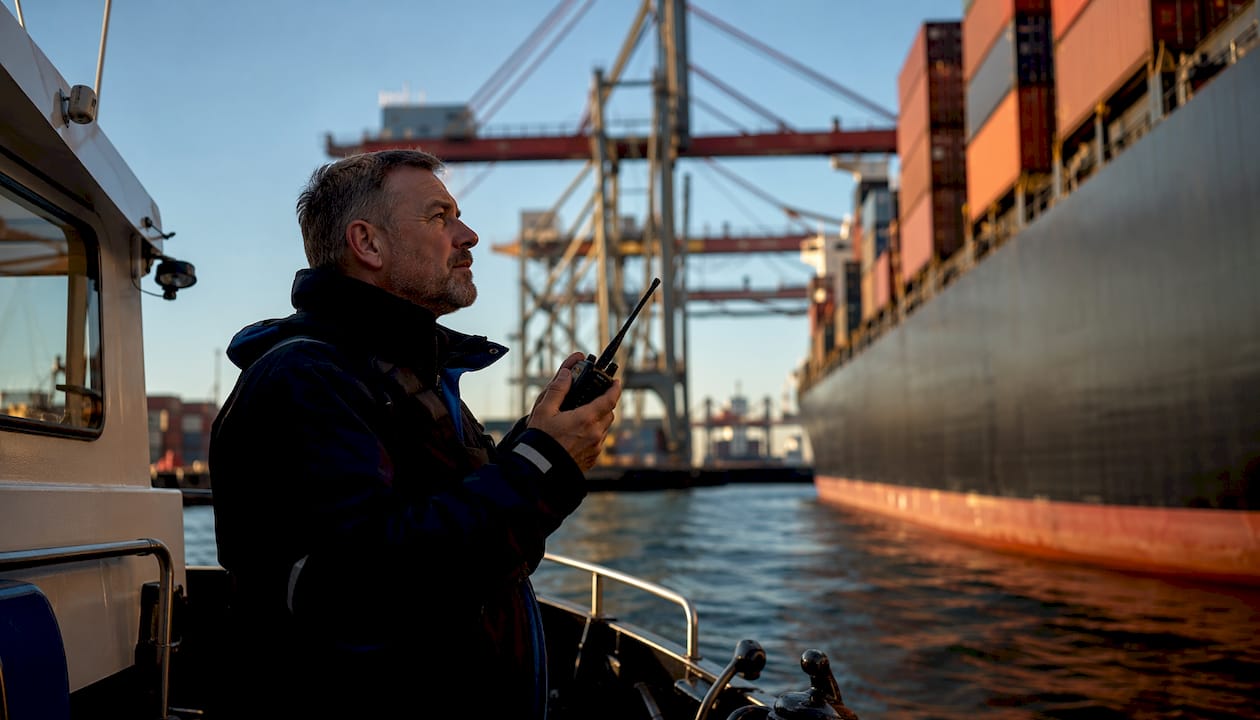
Most ports require vessels above a certain size to report to VTS on a designated VHF channel before entering the port approach area. Even if you’re on a small sailboat, listening to that channel tells you where the big ships are and what they’re doing. Sightseeing vessels and tour boats operating in port waters, like those running guided harbor cruises, follow the same reporting and right-of-way protocols as any other vessel.
Lisbon’s Tagus estuary, for example, is a working commercial port with container ships, ferries, and cruise liners sharing water with recreational sailors. Boat safety in Lisbon depends on every vessel operator understanding the rules of the port, not just the rules of the open sea.
Where is port navigation headed? AI, digital charts, and smarter harbors
The shift from physical markers to digital systems has been underway for decades, but the pace is accelerating. ECDIS (Electronic Chart Display and Information System) is now standard on commercial vessels. It overlays real-time GPS positioning onto electronic nautical charts, giving navigators a precise, automatic picture of where they are relative to hazards, channels, and other vessels. The combination of ECDIS with AIS and radar means a navigator in a busy port approach has more accurate information than was possible even 20 years ago.
“The cross-referencing of radar and geographic information on both radars and ECDIS, combined with AIS, gives navigators the ability to make risk assessments and decisions based on accurate and complete information, even in low visibility conditions.” — Clear Seas, The Evolution of Marine Navigation
The next step is already in development. Researchers are working on AI-driven port navigation systems that convert IALA buoy data into machine-readable constraints, allowing automated systems to calculate safe routes through port waters without human input at every step. The buoys don’t disappear; they become data points that feed directly into route-planning algorithms.
That said, human authority isn’t going anywhere soon. VTS operators and harbor masters retain final decision-making power over vessel movement, and that’s by design. Technology improves situational awareness; it doesn’t replace the judgment call.
For recreational boaters, the practical takeaway from all this is that the tools available to you are better than ever. Chart plotters with AIS overlay, apps that display real-time vessel traffic, and digital tide and current data are all accessible on a phone or a basic chartplotter. The fundamentals, knowing your port from your starboard, reading buoys correctly, and respecting the traffic management structure of a working harbor, remain exactly what they’ve always been.
Experience Lisbon’s harbor from the water
Lisbonbyboat offers daily sailing tours and private cruises on yachts and catamarans along Lisbon’s historic coastline. Every trip operates within the Tagus estuary’s port waters, guided by professionals who know its channels, currents, and traffic patterns. Whether you’re curious about luxury yacht charters or want a two-hour guided tour past Lisbon’s monuments, the best way to understand port navigation is to experience it firsthand. Book your tour at Lisbonbyboat.
For boaters elsewhere, the same principles apply whether you’re on the Tagus or on Lake Tahoe. Knowing the rules of the port makes every trip safer and more enjoyable.
Key Takeaways
Port navigation combines fixed nautical terminology, structured harbor zones, and layered technology to move vessels safely from open water to berth.
Point | Details |
Port means left, always | Port is the left side of a vessel facing forward; starboard is the right, and both are fixed regardless of observer direction. |
Harbors are divided into zones | Vessels transit through the Fairway, Turning Basin, Basin, and Berth Pocket, each with its own rules. |
VTS, AIS, and radar work together | These three systems give port controllers and mariners a real-time picture of all vessel traffic. |
“Red, Right, Returning” saves boats | When entering harbor, red buoys stay on your starboard side; green buoys mark the port side. |
AI is reshaping port navigation | Machine-readable buoy data and ECDIS are enabling automated route calculation in port waters. |
Recommended
Comments