

What Is a Maritime Guide? Meaning, Navigation and Tours

A maritime guide is, in everyday use, the person on a boat who explains the coast, the monuments and the history while the vessel moves past them. The same phrase is also typed by people who mean the guidance a ship uses to find its way: charts, compasses, satellite positioning and the buoys and lights along the shore. This article covers both, because on a boat tour in Lisbon they work together. A skipper and crew take the boat safely along the Tagus, and a guide turns the view into a story. On our 2-hour sailing tours, live commentary is included, and our guides explain the major monuments and sights as you pass them.
TL;DR
A maritime guide, in tourism, is the on-board guide who narrates what you see from the water. In seafaring, “maritime guidance” means navigation: the methods and instruments that steer a vessel.
Navigation is the art and science of getting a ship from one point to another safely. It combines visual landmarks, charts, a compass, dead reckoning and satellite positioning.
Aids to navigation (buoys, lighthouses, beacons) sit outside the vessel. Navigational aids (compass, chart, GPS receiver) are carried on board.
“Maritime” means related to the sea. “Nautical” means related to sailors, seamanship or navigation. In casual speech they overlap.
In Lisbon, a guided sailing tour gives you both: a crew that handles the navigation and a guide who explains the coastline.
Table of Contents
Two meanings of “maritime guide”
The search results for this phrase are almost all about navigation equipment. That is natural: seafarers use “guide” for anything that guides a ship. But if you are planning a trip, you are probably asking something simpler: who is the person talking on the boat, and what are they doing?
Here is the split.
Maritime guide (tourism) | Maritime guidance (navigation) | |
Who or what | A guide on board who narrates the route | The methods, charts, instruments and markers that steer a vessel |
Purpose | Explain sights, history and context | Position the vessel, avoid hazards, reach the destination |
What you notice | Commentary, stories, answers to your questions | The skipper checking the route, buoys and lights along the way |
Who it matters to | Tourists, groups, corporate guests | The crew, and every passenger’s safety |
Both deserve a few minutes, because understanding the second makes the first much more interesting.
The guide on board: what a maritime guide does
On a sightseeing boat, a guide is the link between the water and the city. From the river you see a skyline that visitors on land rarely get in one sweep, and without someone to name it, it is just a pretty blur. A good guide points out what to look at, in what order, and why it matters.
The work usually comes down to a few things:
Narration along the route. Timing the story to the view, so you hear about a monument as it comes into sight rather than ten minutes later.
Context. Why a city grew where it did, what the waterfront was used for and how it changed.
Answering questions. Where to eat, what to see next, how the tides or weather affect the day.
Looking after the group. Making sure everyone, from a couple on a sunset trip to a corporate team, is comfortable and informed.
If you want the detail of how that storytelling is built, our guide to what a tour narration is walks through it, and the article on tour guide responsibilities covers the role from the guide’s side.
The guide is not the skipper
A common confusion: the person talking is not necessarily the person steering. On a sailing yacht, the crew sails and navigates while the guide explains. Each has a different job, and the split is what lets you look up from the boat’s progress and enjoy the view. We describe who does what in roles of crew on sailing tours, and how guided cruises operate shows a typical trip from boarding to return.
Maritime guidance: how a vessel finds its way
Now the other meaning. Navigation sounds technical, but the idea is plain.
The Australian Maritime Safety Authority describes marine navigation as planning, ascertaining and directing a vessel’s voyage, using situational awareness, professional judgment and science and technology. The International Association of Marine Aids to Navigation and Lighthouse Authorities (IALA) defines navigation as determining a ship’s position and course so that dangers are avoided and the destination is reached as quickly and safely as possible.
In short: know where you are, know where you are going, and avoid trouble in between.
Four ways to find a position
The IALA Navguide groups navigation methods into four families:
Terrestrial: using visible features, radar and depth readings to identify where you are relative to the land.
Celestial: observing the sun, moon, planets and stars.
Dead reckoning: starting from a known position and calculating a new one from speed, elapsed time and direction.
Radionavigation: using radio signals, such as GPS.
On a river and coastal trip like a Lisbon sightseeing cruise, the first and the last matter most: the crew reads the shoreline, the water and the instruments together.
The instruments on board
Under SOLAS, the international convention for the safety of life at sea, Chapter V Regulation 19 sets out what ships must carry. The basics include a magnetic compass or another way to find heading that needs no power, a device to take bearings, nautical charts and publications, and a satellite or radionavigation receiver. Larger ships on international voyages must also carry an electronic chart system, called ECDIS, which shows the vessel’s position over a digital chart.
Satellite positioning has become the backbone of modern navigation. The UN Atlas of the Oceans notes that GPS lets a vessel measure its position to within 10 metres at all times with high reliability. The same page points out that instruments often serve several purposes: sonar, for example, was developed to search for underwater targets but can also help navigation.

The principle carries down to smaller boats. If you are curious what a well-equipped small craft looks like, this page on boats with GPS and plotters shows how echo sounders, GPS and chart plotters are part of ordinary boat equipment.
Aids to navigation versus navigational aids
These two phrases are easy to mix up, and the difference is useful when you see a buoy from the deck.
An aid to navigation is external to the vessel: a device or system designed to enhance safe navigation, such as a lighthouse, buoy, beacon, light or leading mark.
A navigational aid is carried on board: an instrument, device or chart.
NOAA’s glossary describes aids to navigation as markers such as buoys, beacons and lights that help mariners determine position and navigate safely by warning of hazards or guiding along safe routes.
So when your guide points to a red or green marker in the channel, it is an aid to navigation. When the skipper checks a chart or screen, that is a navigational aid.
Why crews use more than one method
The standard American reference, Bowditch’s The American Practical Navigator, lists the recognized types of navigation (bathymetric, celestial, dead reckoning, inertial, piloting, radio, radar and satellite) and says a navigator should never rely completely on only one system. Irish Lights makes a similar point: buoys offer a visual and radar check on electronic positioning, and are especially valuable in fog or reduced visibility.
For you as a passenger, the takeaway is reassuring. A professional crew does not simply follow a screen. They cross-check what the instruments say against what they see.
The four phases of a voyage
Bowditch divides navigation into four phases with different accuracy needs: inland waterway, harbor and harbor approach, coastal, and ocean. A Lisbon trip sits in the first three. You leave a harbor, move along a wide estuary and look at the coastline close by. That is the kind of navigation where visible landmarks matter most, and it is why the view you came for is also what the crew is reading.

For how this plays out on our own route, see the complete guide to navigating Lisbon by boat and our note on weather and boat tours.
“Maritime” or “nautical”?
People also ask about the difference. The glossary of nautical terms defines “maritime” as relating to the sea, bordering on it, or relating to a mariner, and “nautical” as relating to sailors, seamanship or navigation. In practice you will see “maritime” used for the broader world of the sea (law, trade, history) and “nautical” for the craft of sailing and navigating. For a traveler the distinction rarely matters. A maritime museum and a nautical chart are both about the sea.
If you wonder where the rules fit in, we explain maritime law in tourism and what it means on a Lisbon boat tour.
What this means for a Lisbon boat trip
A guide who knows the water is only half of a good trip. You want a crew that handles the sailing and navigation without making it your concern, and a guide who makes the shoreline meaningful. That is how we run our tours.
Here is how the main options compare, using the prices published on our site:
Trip | Duration | Price |
Lisbon Sailing Tour | 120 min | €45 per person |
Sunset Sailing Tour | 120 min | from €60 per person |
Dolphin Watching Tour | see tour page | €50-65 per person |
Private Tour | see tour page | from €400 per yacht |
Romantic Sunset Sailing | see tour page | €390 per yacht |
For most first-time visitors, the 2-hour Lisbon Sailing Tour is the clearest way to understand the city from the water. Couples often choose the sunset departure. Groups can look at larger vessels, from speedboats to tall ships and a motor ship carrying up to 340 people.
Book the guided version
Our sailing tours run daily and last two hours. Live commentary, beverages and snacks are included, and an experienced crew takes care of the boat while our guides explain what you are seeing along Lisbon’s historical coastline. You can see departures and prices for the Lisbon sailing tour, sunset tour and private tour, or browse private yachts and catamarans.
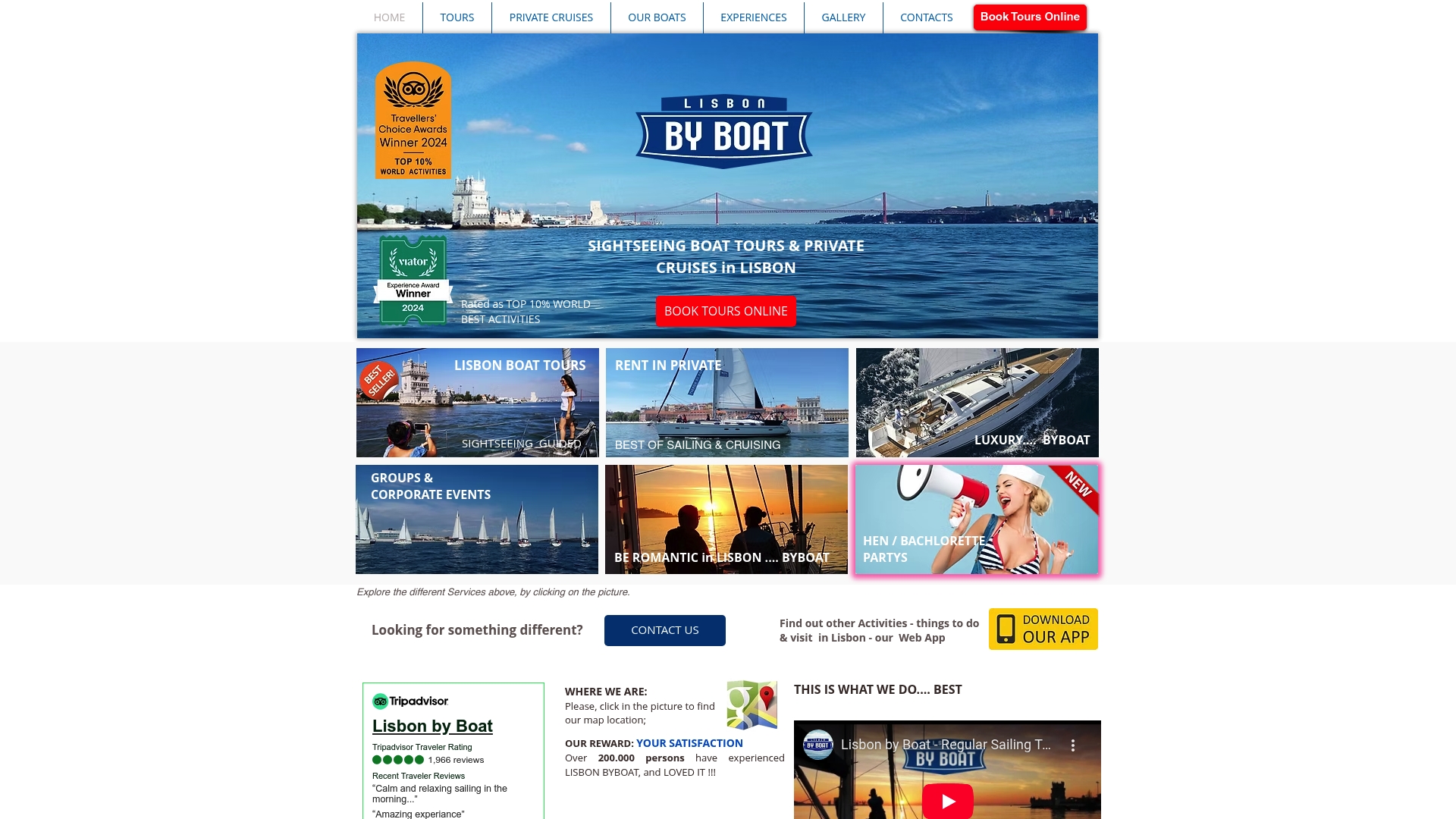
Planning a team-building day or a company outing? Our group programs cover sailing yacht regattas for up to 130 guests, speedboats for up to 120, tall ships for up to 200 and a motor ship for up to 340.
Our view: the guide makes the boat trip
Anyone can put a boat on the water. What people remember is the moment someone says, look left, and a hundred years of the city’s history makes sense. We think of the guide and the crew as two halves of one job. The crew sails and navigates, reading the river, the wind and the markers, so you never have to think about it. The guide tells the story of the Tagus coastline, in real time, as it passes. That is why every tour of ours includes live commentary rather than a recorded track you cannot question. It is also why we offer different formats. A two-hour sailing tour suits a first visit. A private yacht or catamaran suits a family, a proposal or a team that wants to set its own pace, from two hours up to a full day. For companies, we can match the vessel to the group, from a sailing yacht to a large party vessel. Our advice is simple: pick the format that fits who is coming, and let a guide who knows the water do the rest. Lisbon
FAQ
What is a maritime guide?
In tourism, it is a guide who narrates a boat trip, explaining the sights, history and context as you pass them. In seafaring, “maritime guidance” refers to navigation: the charts, instruments and markers that steer a ship. On a Lisbon sailing tour you get both, a crew handling the navigation and a guide handling the story.
Is a maritime guide the same as the skipper?
No. The skipper and crew sail and navigate the vessel, while the guide explains the route to passengers. On a guided tour each does a separate job, which lets you focus on the view. Our article on the roles of crew on sailing tours explains the split in more detail.
What is the difference between maritime and nautical?
“Maritime” means related to the sea, including shipping, law and history. “Nautical” means related to sailors, seamanship or navigation, according to the glossary of nautical terms. In daily speech the two overlap heavily.
What instruments are used to navigate a boat?
Common ones are a compass, nautical charts, a GPS or other satellite receiver, radar and, on larger ships, an electronic chart system. Under SOLAS Regulation 19, ships must carry core equipment such as a compass, charts and a satellite receiver. Crews also use visual markers like buoys and lighthouses.
Sources
Recommended
Comments